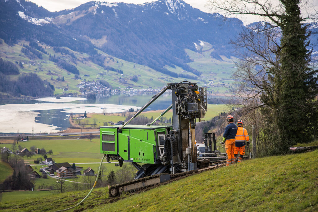
Seewen SZ, February 2026. A slope gradient of over 30°, soft ground, limited space – and yet five boreholes were drilled to a depth of 40 metres.
On behalf of the Civil Engineering Office of the Canton of Schwyz, the task was to investigate the ground conditions on a slope at risk of landslides.
Seewen SZ
Civil Engineering Office, Canton of Schwyz
Studersond AG
5 pieces | ⌀ 150 mm
2x 35 m und 3x 40 m
moraine deposits, debris flow
SPT, installation of inclinometer tubes
Steep terrain
In moraine material, which typically has a heterogeneous composition, the drilling method determines what ultimately ends up in the core barrel. The continuous casing kept the borehole stable throughout its entire depth. The design prevented material collapse, and the sequence remained fully documentable. Depending on the material encountered, either rotary or rotary-percussive drilling was used, which minimized the discharge of fine particles and kept the layer boundaries clearly distinguishable.
In addition to the drilling, SPT tests were conducted. The stable borehole conditions allowed for a clear correlation of the measurement results with depth. This made it possible to reliably determine the density of the moraine deposits.
Inclinometer tubes were then installed within the protective piping to enable the future measurement of any potential slip planes on the slope.
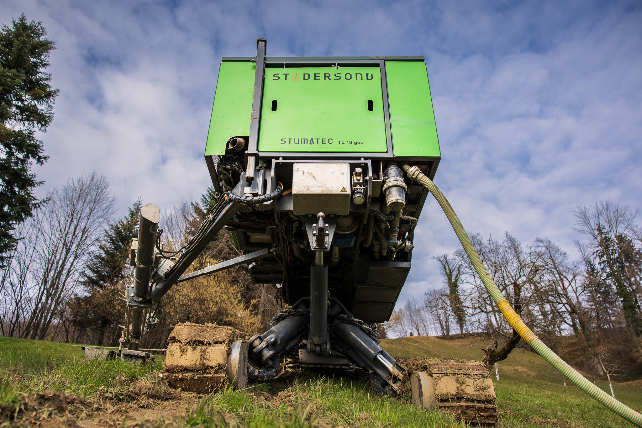
The TL18geo’s kinematically adaptive undercarriage allowed it to be positioned directly at the designated drilling points without disturbing the terrain or taking detours.